
#C-59
NAME:.. ……….Boat Ramps located Emu Park
CONTACT: …….N/A
LOCATION: ……See details below.
POSTAL: ……….N/A
PHONE: ………..N/A
MOBILE: ……….N/A
EMAIL: ………….
ADDITIONAL:
Ramp directions listed Rosslyn Bay, Emu Park, Coorooman Creek
WEBSITE: ………
Google Earth Co-ordinates: Displayed in details below.
EPOL has included Google Earth co-ordinates for the boat ramps in the Emu Park area of the Capricorn Coast.
Scroll down for individual Ramp details, location map and Google Co-ords
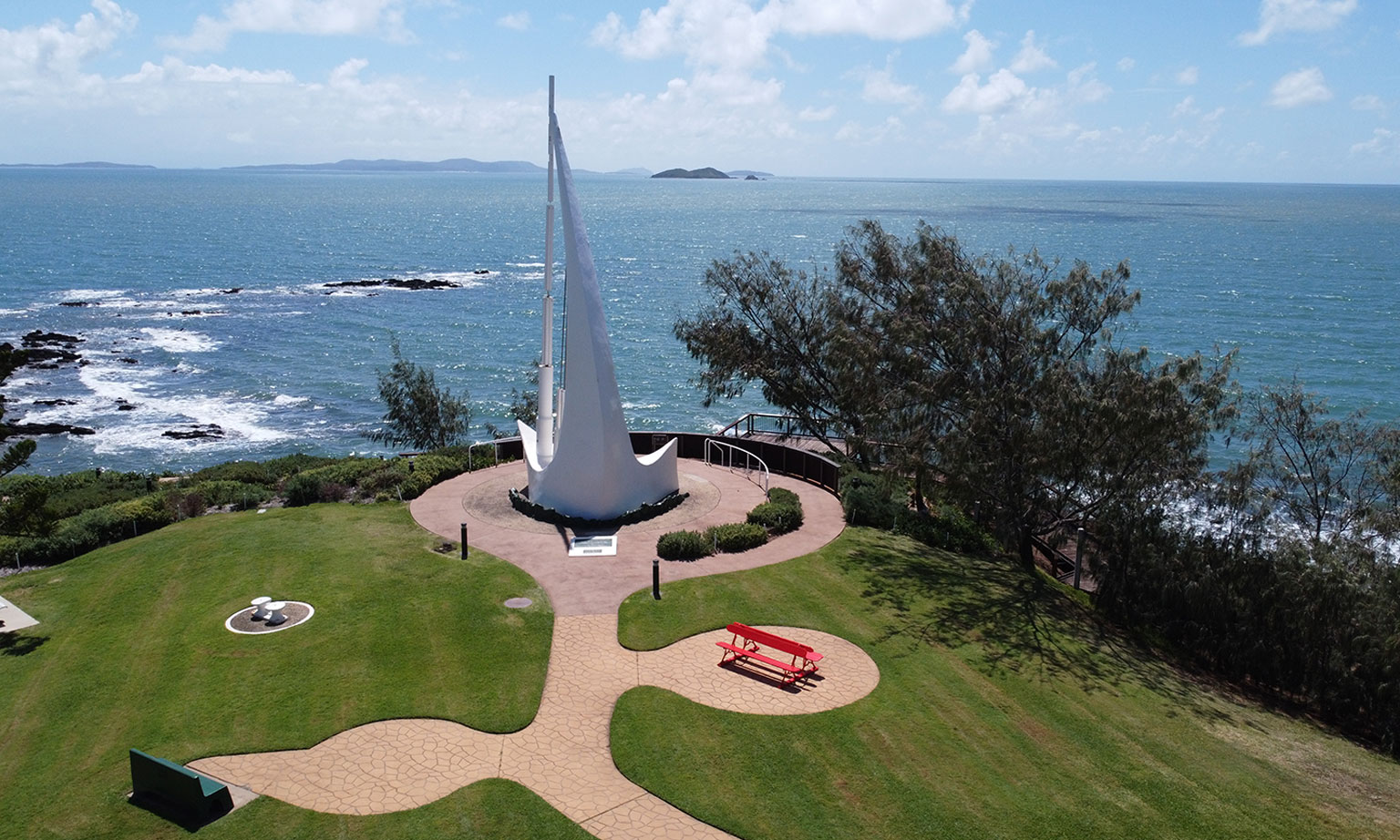
EMU PARK
23°15’16.43″S, 150°49’43.86″E – Emu Park

Popular local boat ramp with very good trailer parking. Great access to Keppel Bay Islands.
Bait, fuel and all supplies available in nearby CBD
Our Location

ROSSLYN BAY RAMP
Find out all you need to know about the boat ramp by visiting the Coastguard at Rosslyn Bay – Click here to visit their EPOL webpage entry .
Bait, fuel and all supplies available at the Boat Harbour.
23° 9’50.40″S,150°47’21.41″E – Rosslyn Bay Boatharbour
Our Location
COOROOMAN CREEK BOAT RAMP

Coorooman Creek Ramp is found at the Western End of Svendsen Road.
Single concrete ramp – good trailer parking – has Croc warning – access to creek
23°17’56.17″S, 150°46’10.27″E – Coorooman Creek, Zilzie
Our Location

And please don’t forget to tell our wonderful Gold Listers that you found them on Emu Park Online. TIA